International Metropolis Project
The urban climate in large cities is very different from that of the surrounding area with regard to climatic characteristic values such as temperature and precipitation as well as the chemical composition of the air, for example, the CO2 concentration. The difference is often in the form of a gradient, which changes gradually starting from the center of the city to its outskirts.
Can the urban climate help to predict the effect of climate change on tree growth that can be expected in the future?
The Metropolis Project is devoted to this question. An analysis is made of the growth of trees along transects, which, in each case, run from the city center to the periphery in large metropolises in different climatic regions of the Earth. Metropolises are selected because the urban climate effect between the densely built-up urban center and the less densely built-up peripheral areas is most pronounced in metropolises. As a consequence, a comparison of tree growth in investigation locations with different climates is possible. The correlation between the respective environmental conditions and the growth of trees should help to reveal any growth reactions in forest trees to climate change.
-

Core sampling in Paris
-

Measuring system for evaluating the drill cores
-

Drill cores after increment drilling
The investigation involves the analysis of annual rings, structural analyses, modern laser scanning techniques and isotope analyses. The results of the project are of high scientific and practice-oriented importance, because they make an important contribution to climate impact research and forest growth research and can therefore help in the development of suitable strategies for adapting forests to changing climatic conditions.
The scope of the project is unique with regard to the sampled trees and the variety of project locations. The worldwide distribution of the locations not only permits statements to be made about urban tree growth in different climatic regions on Earth, but also permits the analysis of different growing conditions and growth-influencing factors on tree growth.
The project is processed at the
Lehrstuhl für Waldwachstumskunde (Chair of Forest Growth and Yield Science) at the Technical University of Munich.
Project locations
The selected metropolises are in four different climate zones. Due to the different characteristics of the seasons within the climate zones, the climatic conditions in the individual metropolises are extremely different. It is assumed that the different climate conditions in combination with the urban climate effect leads to different effects on tree growth. Thus, in cold-temperature climates (boreal), the urban climate effect could have a positive impact. In the Mediterranean climate, where dry conditions already prevail in the summer, the urban climate could make the dry situation worse and have a negative impact on tree growth.

The boreal zone in Sapporo
The boreal zone
In the
boreal zone, which is characterized by adequate precipitation and moderate temperatures, the cities of Sapporo and Prince George were selected:
Sapporo was founded in 1869 and is the administrative center of the Hokkaido Prefecture, the northernmost of the four Japanese main islands. Sapporo covers an area of approximately 1120 km² and has approximately 1.9 million inhabitants.
This corresponds to a population density of 1705 inhabitants per km². Approximately 3.4 million people live in the Sapporo urban center. Sapporo is a modern city with a large number of high-rise buildings. The streets have been laid out in a grid pattern like the streets in many American cities. Sapporo is situated about 20 m above sea level on a plain, which is surrounded by mountains to the east, south and west. It is bordered on the north by the Sea of Japan. With a mean annual temperature of 8.2 °C and a precipitation level of approximately 1129 mm per year on approximately 140 rainy days, the city is in the cold-moderate climate zone. The winters are usually long, cold and snowy. The selected tree species at this location was the Sakhalin fir (Abies sachalinensis (F. Schmidt) Mast.). The natural range of this tree species is mainly limited to the Sakhalin island and the Kurils. The wood is light, relatively soft and decomposes easily. It is mainly used for paper production and as timber.
Prince George was founded in 1807 by the fur trader and explorer Simon Fraser. The city is situated at the outlet of the Nechako River into the Fraser River in the center of British Columbia at a height of 575 m above sea level. With a population of about 72,000 and an areal extent of 316 km², it has a population density of 228 inhabitants per km². The region has about 84,000 inhabitants and represents a special case in the selection of locations for the project. Strictly speaking, the city is not sufficiently large for the project plan, but offers the advantage of providing the possibility to investigate the impact of an industrial settlement. In view of the fact that the wood-processing industry was established very suddenly in the city in the mid-60s, there is a very good opportunity to investigate its influence. This is because it is suspected that the increased waste heat has led to an increase in temperature. Most sampled trees were already present in the city before settlement and can provide information on the consequences of and/or changes resulting from industrial settlement.
The wood-processing plants in Prince George are the most important industry sector. The mean annual temperature is 3.7 °C. The annual precipitation of 613 mm falls on 117 rainy days. The white spruce (Picea glauca [Moench] Voss) was selected as the tree species. This is an adaptable evergreen climate-resistant conifer and grows to a maximum height of 50 m. Its range extends principally throughout North America (Canada, Alaska, North USA). The light, soft wood is used in the timber and paper industries.
The temperate zone
In the
temperate zone, the European cities of Berlin, Munich and Paris were sampled:
The Bavarian state capital,
Munich, is situated on the River Isar and, with 1.45 million inhabitants on an area of 310 km², is the third largest city in Germany. On the one hand, the nearby Alps account for the total annual rainfall of 1009 mm and, on the other, the Alps are involved in the phenomenon of the “Föhn” wind, which occasionally provides warm air masses close to the ground. The mean annual temperature is 9.2 °C. The horse chestnut (Aesculus hippocastanum L.) was selected as the sampled tree species. It grows to a maximum height of 36 m and can be found throughout Middle and Western Europe and much of the USA. The wood is used mainly as wood blanks and in carving and wood turning.
The German capital
Berlin is located in the north German young moraine landscape. The Warsaw-Berlin glacial valley crosses the city from the southeast to the northwest. The Teltow and Barnim plateaus occupy the south and the northwest, respectively. In spite of the geological structure, the elevations in Berlin remain within narrow limits (Tempelhof-Schöneberg 42.5 m to 52 m above sea level, Charlottenburg 30 m to 70 m, Spandau 27.5 m to 32.5 m above sea level). The areal extent of Berlin is 892 km², with a maximum extension of 45 km in the east-west direction and 38 km in the north-south direction. With more than 3.4 million inhabitants, Berlin is the most populous city in Germany and the fifth largest in Europe. The mean annual temperature is 9.2 °C and the annual precipitation is 579 mm. The small-leaved lime (Tilia cordata Mill.) was selected as the tree species. This grows to a maximum height of 30 m and is often found in streets and parks. The soft, white to light brown wood is mostly used for sculpture and carving as well as in wood turning.

Maple leafed plane trees in Paris
Paris, the capital of France, is situated on the River Seine. Its urban settlement zone has 10.4 million inhabitants. Paris is the ninth largest city in Europe and has an area of 2845 km² and a population density of 3660 inhabitants/km². The total annual rainfall is 639 mm and the mean annual temperature is 10.6 °C. The London plane tree (Platanus x hispanica Münchh.) grows to a maximum height of 35 m and is found in streets and parks in most of Europe. It has excellent emission resistance and is therefore well suited to urban air pollution. The wood, which has little resistance to weather, is mostly used in furniture, wood turning and veneers.
The Mediterranean climate regime
In the Mediterranean climate regime, which is characterized by dry summers and winters with a high rainfall, the cities of Santiago de Chile and Cape Town, which are both in the Southern Hemisphere, were investigated:
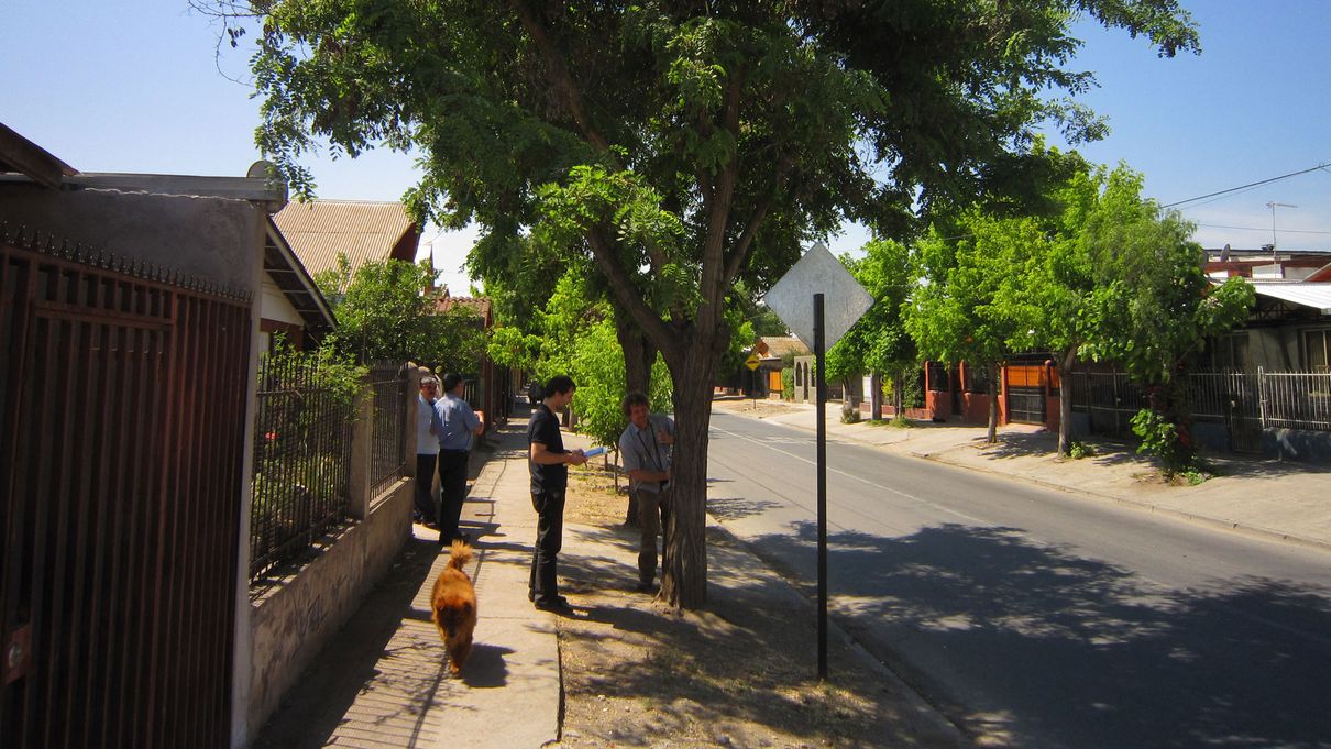
Santiago de Chile is the capital of Chile. The investigation area is situated in the Central Chilean Basin, which is enclosed by the Andes in the east and the coastal cordillera in the west. With the exception of a few interruptions at the island of Chiloe, these extend over the entire west coast of the country. The Metropolitan Region covers an area of 15,100 km², which includes the Santiago urban area of 640 km². Santiago is the melting pot of the South American country with regard to politics, economics, culture and industry. The main rainy season in the winter months of June, July and August is typical of the Mediterranean climate of central Chile. The cold season starts as early as May and extends until the end of September. A mean monthly temperature of 8 °C is to be expected in these wet and mild months. Much higher mean temperatures are reached in the summer months from October until April. Here, the mean value is 27 °C, whereby daytime temperatures of above 30 °C can be reached. The false acacia tree (Robinia pseudoacacia L.) was selected for this location. It is characterized by its valuable wood, which is used, in particular, as stakes, construction timber and timber and in wooden tools.
Cape Town, the second largest city in South Africa after Johannesburg, was founded in 1652 and is the capital of Western Cape Province and seat of the South African Parliament. The city is situated directly on Table Bay, which is on the Atlantic Ocean, approximately 45 km in a northerly direction from the Cape of Good Hope at an altitude of approximately 20 m above sea level. The population is approximately 3.5 million. With an areal extent of approximately 2455 km², the population density is 1425 inhabitants per km². In addition, the region around Cape Town has experienced high population growth within the last 25 years. The climate here is Atlantic in character with a mean annual temperature of 16.3 °C. The annual rainfall of 515 mm is distributed over about 104 rainy days and considerably more rain falls in winter than in summer. The English oak (Quercus robur L.) was selected as the tree species. It grows to a maximum height of approximately 35 m and has brown wood, which is very versatile and is used, for example, as veneer and solid wood.
The Subtropics
Also situated in the Southern Hemisphere is Brisbane, one of the three settled locations in the
subtropical climate zone. Humid hot summers and mild dry winters are typical of this climate zone. Hanoi and Houston were selected as locations in the Northern Hemisphere:
Brisbane, capital of the State of Queensland, was founded in 1824. It is situated on the East Coast of Australia. The Brisbane River passes though it and it is located directly on the Coral Lake. In the Brisbane agglomeration area, 2 million people live on an area of 1363 km². The oil industry is one of the main economic sectors here. The rainy season is from November to April. The mean annual temperature is 20.6 °C and the total rainfall is 1230 mm/year. The hoop pine (Araucaria cunninghamii [Aiton ex. D. Don]) was selected as the tree species. It grows to a maximum height of 50 m and is only found in the Southern Hemisphere in New Guinea and Australia. The wood is primarily processed in the plywood industry.
Hanoi, the capital of Vietnam, which was reunified in 1976, was founded in 1010 and is therefore the oldest capital city in Southeast Asia. The city is situated in the fertile delta of the Red River at a height of approximately 20 m above sea level. With an areal extent of approximately 3325 km² and an estimated population of approximately 6.5 million, the population density is 1875 inhabitants per km². With its large number of motor vehicles and motor cycles, Hanoi has an exceptionally high volume of traffic. The center of Hanoi has been shaped by long colonial rule, partly by the French. The mean temperature amplitude ranges from 16.7 °C – 29.5 °C. The climate is humid for eight months of the year and arid for the remaining four months. The precipitation of 1802 mm per year falls on approximately 145 rainy days. The African mahogany (Khaya senegalensis (Desr.) A. Juss.) was selected as the tree species. It grows to a maximum height of 35 m and is characterized by its dark brown hard-wearing wood. This is predominantly used in the building and veneer industry.

Houston, Texas
Houston is situated in the State of Texas and, with its more than 2 million inhabitants, is the fourth largest city in the USA. It is situated near the US Gold Coast and has an area of 1652 km². The mean annual temperature is 20 °C and the total annual rainfall is 1170 mm. The fast-growing water oak (Quercus nigra L.) was selected as the tree species. Its natural range extends from East to Central USA. The rather low-quality wood is used in the manufacture of charcoal and as firewood.
Methodology
On average, more than 150 trees are sampled and measured at each location. The measured parameters include: tree height, trunk diameter, crown base height and records of growing space and root zone. An increment borer with diameter 5 mm is used to take core samples from each tree in two cardinal directions. The core samples are then subjected to dendroecological evaluation in the annual-ring laboratory, in which a microscope is used to determine the annual ring widths and thus the annual growth. Transects within the urban area and the surrounding areas are categorized on the basis of the microclimatic characteristics. In each metropolis, a frequently occurring tree species is selected, which has a strong informative value. In addition, temperature and precipitation as well as environmental data are recorded at various stations in the urban area. Ultimately, the relationship between air constituents and tree growth will be revealed.
Evaluation line
The large number of growth-influencing factors together with the individuality of each urban body first requires an individual analysis of each metropolis. This is followed by a comprehensive evaluation with the aim of deducing possible relationships between regularities relating to city tree growth and the city climate. Within the framework of this general evaluation, the investigation will be carried out at both the individual and global climate-zone level.


